

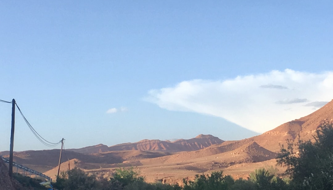
At a 4,167 meters altitude, Mount Toubkal is the highest peak in North Africa. Reaching it requires two days of walking, trained legs, and a certain tolerance for the rocky trails that ascend uncompromisingly through the heart of the Atlas Mountains. The national park surrounding it, established in 1942, covers about 380 square kilometers south of Marrakech and hosts some of the most spectacular hikes on the entire African continent.

The classic starting point for those wanting to climb Toubkal is the village of Imlil, reachable in about an hour and a half by car from Marrakech along the road that climbs the Ourika valley to the southwest. Imlil is a small Berber center where guides, muleteers, and lodges are concentrated. From here, the journey truly begins, and already in the first kilometers, the landscape changes radically compared to the plain: agricultural terraces, walnut and apple trees, and stone and mud houses built according to local tradition.
The first day: from Imlil to the Toubkal refuge

The main trail ascends from Imlil through the village of Aroumd, perched on a rocky spur at about 1,900 meters, then continues along the Ait Mizane valley to the Refuge du Toubkal, managed by the French Alpine Club, which is located at an altitude of 3,207 meters. The overall elevation gain of this first stage is about 1,200 meters and typically takes four to five hours of walking at a moderate pace.
Along the way, you cross high-altitude pastures where Berber families bring their flocks in the summer, and you often encounter mules loaded with supplies heading to the refuge. The trail surface is uneven, made of broken rocks and gravel, with few flat sections. The refuge offers sleeping places in dormitories and hot meals: it is advisable to book in advance during the months of July and August, when the flow of hikers is more intense.

The ascent to the summit: the crater and the panorama
The departure for the summit typically occurs at dawn, around 5:00 or 6:00 in the morning, to avoid the heat during the central hours and to enjoy the panorama before the clouds rise from the slopes. The trail leading from the summit requires another three to four hours of ascent, with a final stretch on unstable gravel that slows the pace. In winter and spring, snow may be present up to the summit, making crampons and an ice axe necessary.

From the top of Toubkal, on clear days, you can see the Atlantic to the west and the Sahara to the southeast. The view of the Atlas ridges is continuous and uninterrupted: a succession of brown and gray peaks descending into deep valleys. There are no structures at the top, just a small cairn and, often, a strong wind that discourages staying too long.
The Berber Villages Along the Route

One of the most concrete characteristics of this trekking is the contact with the villages of the Atlas. Aroumd and Sidi Chamharouch — the latter being a small Islamic sanctuary at about 2,310 meters, a destination for local pilgrimage — are intermediate stops where it is possible to pause for mint tea or buy water. The houses are built of local stone and adobe, with flat roofs and small terraced gardens cultivated with barley and potatoes.
The local Berber guides, mandatory for organized groups and strongly recommended for individual hikers as well, know every variation of the route and often propose alternative itineraries that avoid the most crowded sections. Many of these guides are from the villages in the valley and offer a direct perspective on life at high altitude.
Practical tips for trekking to Toubkal
The best time to climb Toubkal without snow equipment is between June and September. During these months, the trail is free of snow and the temperatures at the refuge hover around 5-10 degrees at night. It is essential to wear layered clothing, sturdy-soled hiking shoes, and bring at least two liters of water for each leg of the journey. Trekking poles are especially useful in the final stretch on scree.
To reach Imlil from Marrakech, you can take a shared taxi from the Bab Rob station or rent a private car. The cost of the shared taxi is around 30-40 dirhams per person. Entrance to the national park requires a small fee, which can be verified upon entry. Those who suffer from altitude sickness should consider a day of acclimatization in Imlil before tackling the ascent.