Fjallabak may refer to Fjallabak Nature Reserve, or two highland routes, South Fjallabaksleið or the North Fjallbaksleið. The name ‘Fjallabak’ literally translates to ‘The Back of the Mountains’, or ‘Mountain Back’.This route along a mountain track with its unpronounceable name offers a remarkably picturesque journey through the high mountains located to the north of the Mýrdalsjökull glacier. It’s the result of thousands of years of geological activity.
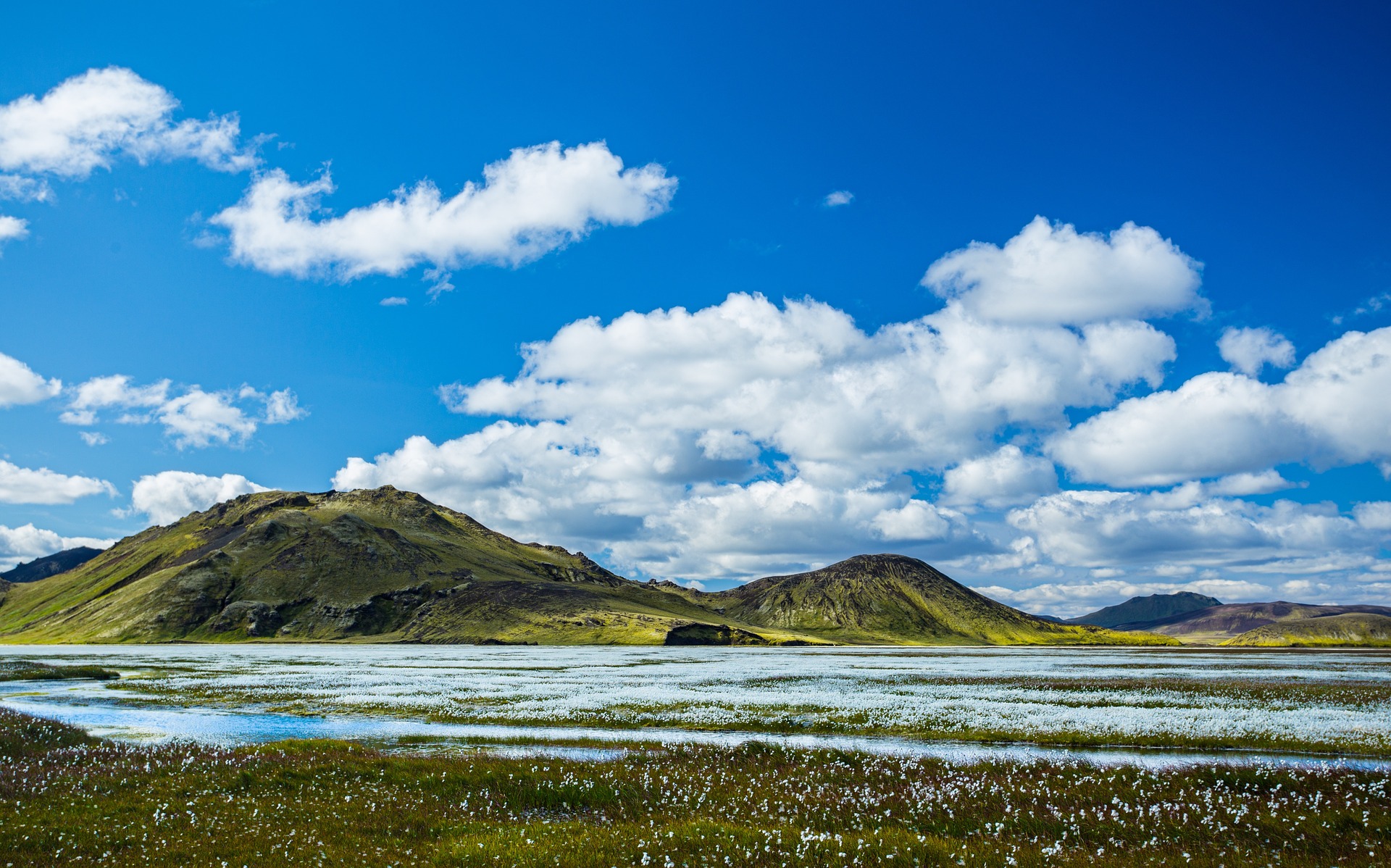
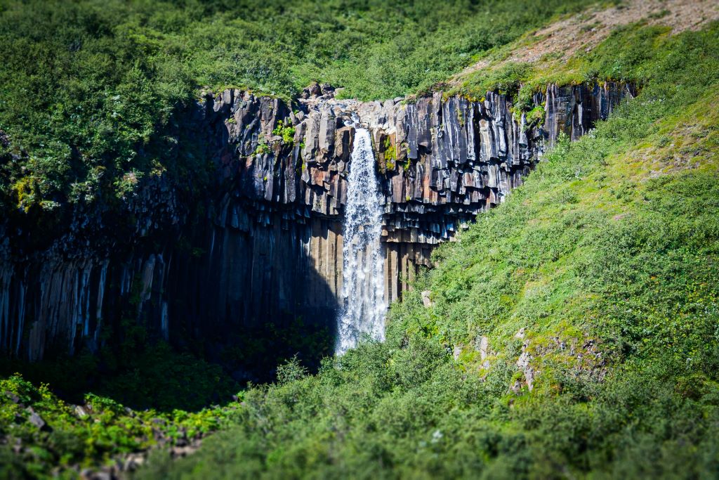
Fjallabak Nature Reserve was established in 1979. The Nature reserve is 47.000 hectares and is over 500 meters above see level. The land is mountainous, sculptured by volcanoes and geothermal activity, covered by lavas, sands, rivers and lakes.he average temperature in the Fjallabak Nature Reserve is probably 0-1°C. Temperatures between 5-14°C may be expected in July and August, and in the winter the average temperature is about –6°C. Mountain areas have a tendency to alter the general weather situation, and the Torfajokull Mountains are no exception. The most important local weather variations being; lowering of temperatures, increases in wind speed, local changes in wind direction, production of fog and mist, increased likelihood of rain and snow.Because of the cold climate in the Nature Reserve, the vegetation’s growing period is only about two moths every year, and the formation of soil very slow. The soil is deficient in fully rotted and weathered minerals and is therefore rough and incoherent, furthermore wind and water transport is easily. Sandstorms, common in large parts of the area, as well as volcanic eruptions cover the Nature Reserve with lava and ash. If all these conditions are born in mind, together with the region being heavily grazed through the years it does not come as a surprise that vegetation is scarce in the Nature Reserve. Continuous vegetation cover is rather small and the largest and greenest vegetated areas are close to rivers and lakes i. e. the Kylingar area, which is a continuous fenland with pools and ponds and various marsh plants. The acidic rhyolite bedrock is largely barren, but the hyaloclastite formations are often clothed in moss top to bottom.
About 150 types of flowering plants, ferns and allies have been distinguished. Least willow is common on dry sands and lava, and cotton grass in marshes. Lowland vegetation is found nest to the geothermal area at Landmannalaugar with common sedge widespread and marsh cinquefoil pleasing the eye.
