
← Back

Fairy Meadows National Park, Pakistan

Fairy Meadows, 9HPH+WCF, Gilgit Baltistan ★★★★☆ 287 views
Carla Doris
Fairy Meadows
🏆 AI Trip Planner 2026

Get the free app

Discover the best of Fairy Meadows with Secret World — the AI trip planner with 1M+ destinations. Get personalized itineraries, hidden gems and local tips. Free on iOS & Android.

🧠 AI Itineraries 🎒 Trip Toolkit 🎮 KnowWhere Game 🎧 Audio Guides 📹 Videos
Scan to download iOS / Android
Scan for AppGallery Huawei users

About Fairy Meadows National Park, Pakistan

Fairy Meadows National Park, Pakistan - Fairy Meadows | Secret World Trip Planner

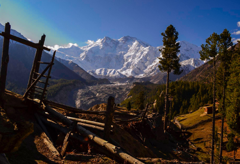
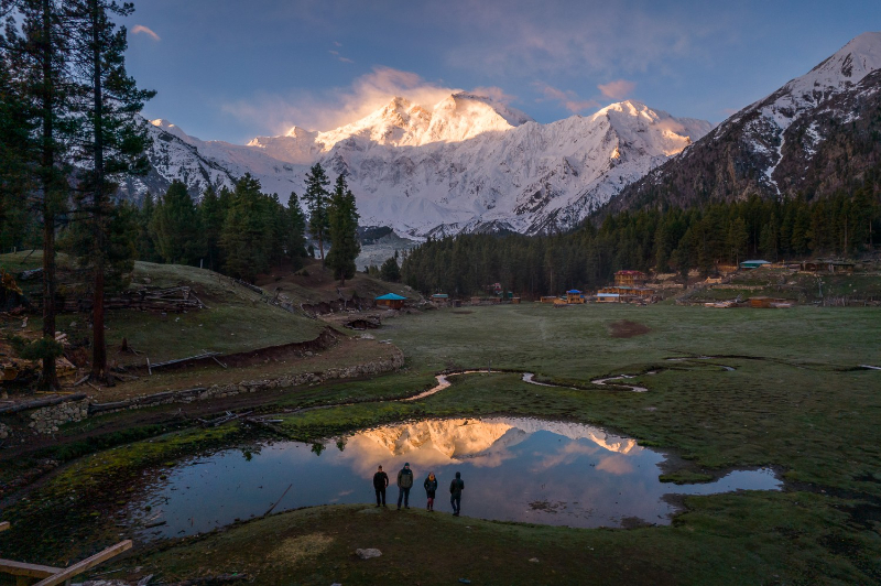
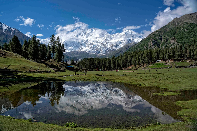
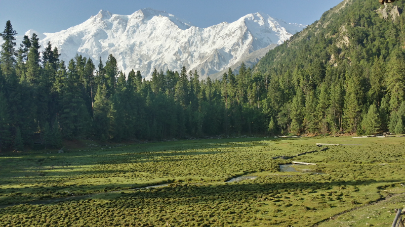
Near the foot of one of the world's highest mountains (Nanga Parbat), Fairy Meadows offers sublime mountain scenery and wildlife, including brown bears, markhor, and Himalayan ibex. Fairy Meadows, named by German Climbers (German Märchenwiese, “fairy tale meadows” and locally known as Joot, is a grassland near one of the base camp sites of the Mount Nanga Parbat (an 8000r peak), located in Diamer District, Gilgit-Baltistan, Pakistan.
Fairy Meadows National Park, Pakistan - Fairy Meadows | Secret World Trip Planner

At an altitude of about 3,300 meters above the sea level, it serves as the launching point for trekkers summiting on the RakhiotFace of the Nanga Parbat.

In 1995, the Government of Pakistandeclared Fairy Meadows a National Park. Fairy Meadows is approachable by a twelve kilometer-long jeep-able trek starting from Raikhot bridge on Karakoram Highway to the village Tato. Further from Tato, it takes about three to four hours hiking by a five kilometer trek to Fairy Meadows.
Fairy Meadows National Park, Pakistan - Fairy Meadows | Secret World Trip Planner

The grassland is located in the Rakhiot valley, at one end of the Rakhiot Glacier which originates from the Nanga Parbat and feeds a stream that finally falls in the River Indus. Since 1992, locals have operated camping sites in the area. The six-month tourist season at Fairy Meadows starts in April and continues until the end of September. Tourists lodge at the camping site spread over 800 hectares (2 acres), known as "RakhiotSerai".

Fairy Meadows National Park, Pakistan - Fairy Meadows | Secret World Trip Planner
🗺 L'app dei tesori italiani

Plan your visit to Fairy Meadows

Suggested itinerary near Fairy Meadows National Park, Pakistan

MAJ+
500.000+ travelers worldwide
  1. 🌅
    Morning
    Fairy Meadows National Park, Pakistan
    📍 Fairy Meadows
  2. ☀️
    Afternoon
    Fairy Meadows
    📍 0.8 km · Fairy Meadows

Buy Unique Travel Experiences

Powered by Viator

See more on Viator.com

Explore nearby · Fairy Meadows

Frequently Asked Questions

The best time to visit Fairy Meadows is during the six-month tourist season that runs from April through the end of September. Outside these months, the area is inaccessible due to heavy snow and harsh weather conditions at the 3,300-meter altitude.
Start at Raikhot Bridge on the Karakoram Highway and take a 12-kilometer jeep-able trek to the village of Tato. From Tato, it's a further 5-kilometer hike that takes three to four hours on foot to reach Fairy Meadows.
Fairy Meadows is home to diverse alpine wildlife including brown bears, markhor, and Himalayan ibex. The grassland's pristine mountain environment near Nanga Parbat provides an excellent habitat for observing these endangered species in their natural setting.
The name 'Fairy Meadows' comes from German climbers who called it 'Märchenwiese' (fairy tale meadows) due to its sublime and enchanting mountain scenery. Locally, the area is known as Joot and has been a camping destination operated by locals since 1992.
Fairy Meadows sits at approximately 3,300 meters above sea level, making it the launching point for trekkers attempting to summit Nanga Parbat via the Rakhiot Face. This strategic location on the Rakhiot Glacier valley makes it an essential base camp for mountaineers tackling this 8,000-meter peak.